Tillamook Birder
  • Home
  • Where to Bird
    • Outer Coast
    • Tillamook Bay
    • Estuaries, Lowlands, Other Bays
    • Coast Range
  • Calendar
    • Jan - Feb
    • Mar - Apr
    • May - Jun
    • Jul - Aug
    • Sep - Oct
    • Nov - Dec
  • Sightings
    • Recent
    • Statewide
  • Resources
    • Tillamook CBC
    • Conditions
    • Lists
    • Publications >
      • Reed Ferris' 1930-1943 bird banding records and bird observations for Tillamook County, Oregon
      • Habitat Conservation Plan for the Western Snowy Plover
      • Cascade Head Scenic Research Area Management Plan
      • Nestucca Bay NWR Final Comprehensive Conservation Plan (CCP)
      • Tillamook Estuaries Partnership’s Tillamook Bay Comprehensive Conservation and Management Plan (CCMP) >
        • 2012 Fall NAMC
      • Species of Concern of the Tillamook Rainforest
      • 2011 Birding and Blues (David Irons) >
        • Tillamook County "Big Day", Feb 2012
      • Tillamook Bay Watershed Health Report 2010
    • Tillamook County >
      • Tillamook (John Rakestraw, 2012)
    • Topo Maps
  • Photo Gallery
    • MAK Gallery >
      • MAK Photos from Elsewhere
    • JE Gallery
    • KC Gallery
    • dv Gallery
    • b-j Gallery
    • JB Gallery
    • Other Photos
  • Links
  • TillamookBirderBlog
  • Contact

Tillamook Birder Resources

 
Picture
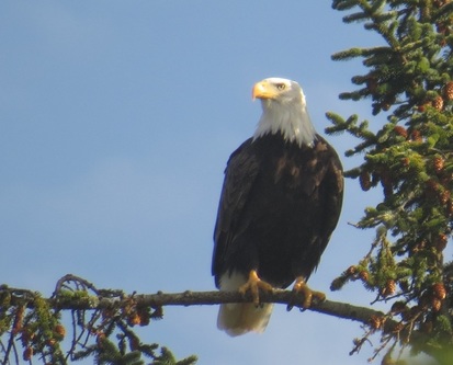
Bald Eagle, Clay Myers NA, 24 Oct 2015 Photo: dawn villaescusa
  • Conditions
         Tides, weather, road conditions and current alerts 
  • Lists
         Birding checklists, lists of birds and other Oregon wildlife
  • Publications
         Articles of interest to Tillamook birders
  • Reports
         Field reports, reports on current issues and recent events
  • Maps
         Downloadable topographic maps for Tillamook County (USDA)

All photographs are the property of stated photographer and may not be copied or used without the photographer's written consent.
Please report broken links.  Thank you!
Proudly powered by Weebly