Birding Locations - Tillamook Bay
We are working on adding additional Birding Sites to our website. In the meantime, do you have a favorite birding spot or birding tips for specific spots in Tillamook County? Please tell us about it, we'd love to include it!
Check local specific information regarding any closures or special restrictions.
Check local specific information regarding any closures or special restrictions.
Have you ever considered birding Tillamook County by Paddle Board or Kayak? Local birder Cliff Cordy has and has prepared a guide for those similarly inclined. Check it out here.
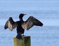 Double-crested Cormorant -- Photo: Jack Booth
Tillamook Bay is one of the state's largest estuaries, with a mix of outstanding birding habitat. From Barview Jetty on the north to Bayocean Spit on the south/southwest, it takes more than a day to cover this extensive area.
Bayside towns of Garibaldi and Bay City offer docks, coves and water treatment plants for a variety of shore birds (spring and fall) and waterfowl (winter).
Tillamook Bay Wetlands (Rain River, Goodspeed Road) is a large marshy area with nesting Black Phoebes and winter resident Red-shouldered Hawks and White-tailed Kites.
Barview Jetty (north) and Bayocean Spit (south/southwest) offer both ocean and bay birding. The spit also boasts brush and trees that serve as migrant traps during spring and fall migration.
Tillamook Bay Area Bird Observations (eBird)
eBird "Hotspot Explorer" for Tillamook Bay
Additional information
|
ADVISORY: Use extreme caution and common sense -- don't walk out on the jetty during high winds or waves (see safety tips link).
|
The north jetty for Tillamook Bay, Barview offers ocean and bay birding, as well as brushy habitat (county park) for passerines.
Bird Observations (eBird) eBird "Hotspot Explorer" for Barview Jetty Additional information |
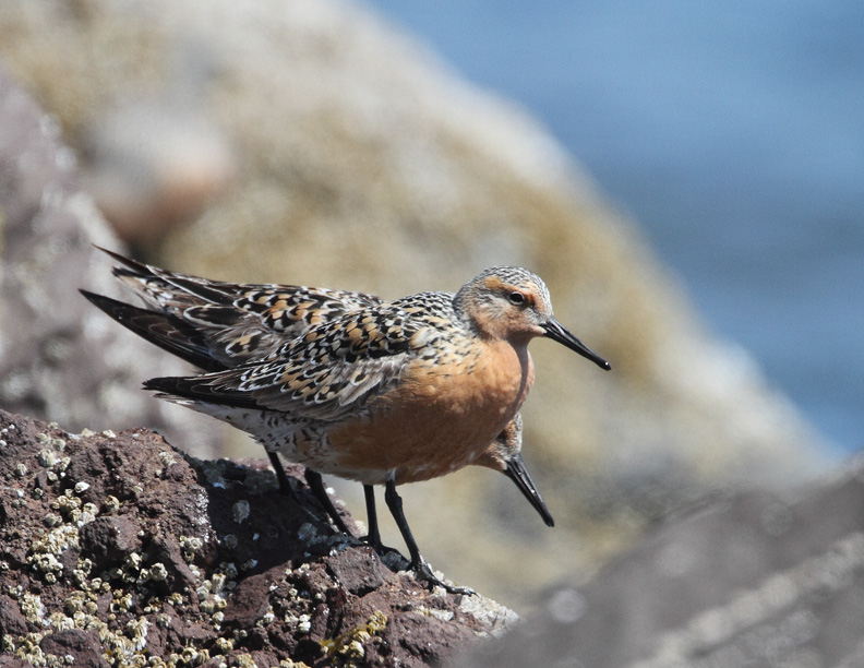
Red Knot -- Photo: Jack Booth
Conditions (also see our "Conditions" page)
|
|
Located between Garibaldi and Tillamook (city), Bay City offers both a water treat plant and an oyster farm for birding.
Bird Observations (eBird) eBird "Hotspot Explorer" for BC Oyster Co. eBird "Hotspot Explorer" for BC WTP Additional information |
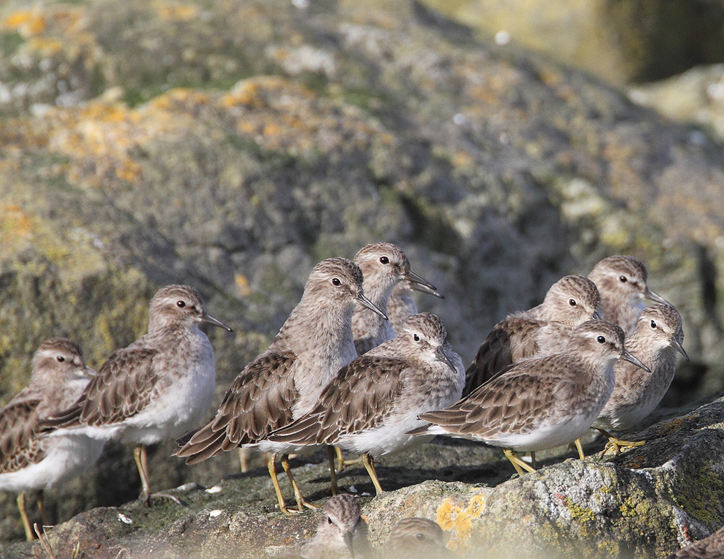
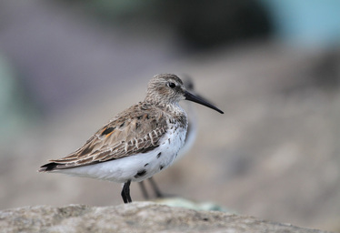
Least Sandpiper -- Photo: Jack Booth
|
|
ADVISORY: Goodspeed Road winds through private property, and ends well before what is shown on GPS mapping programs. Be courteous and do not trespass. The kiosk by the main parking area has a map showing the public trails. There is a loop but the best birding is west to the river and back (about 3.5 miles total). A second parking area has been added off of Sissek Rd. No facilities at site.
|
Tillamook Bay Wetlands is located on the southeast edge of the bay, where several small rivers and streams merge before dumping into the bay. Access the wetlands, or "Rain River" via Goodspeed Road off of Highway 101 in Tillamook city. There is parking at the end of the road.
Bird Observations (eBird) eBird "Hotspot Explorer" for the wetlands Additional information |
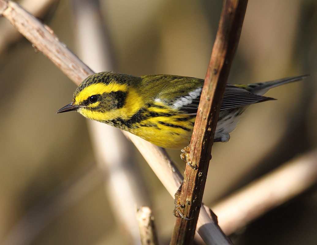
Townsend's Warbler -- Photo: Jack Booth
|
|
Located on the west side of Tillamook Bay via Bayocean Road (follow Three Capes Scenic route signs). Two single lane roads traverse the spit, ending at a small parking area. From there trails lead out to the jetty, the ocean and bay.
Bird Observations (eBird) eBird "Hotspot Explorer" for Bayocean East Side, Bayocean West Side, and Bayocean Spit Additional information
|
Dunlin -- Photo: Jack Booth
|